
Looking Up Kentucky Neighbors by Block
Start with one parcel. Kentucky has 120 counties and no statewide owner map. County GIS/PVA shows parcels and assessed owners; clerks hold deeds. Voter files are regulated, permits show projects, and association pages give contact routes.
| Block record | What it can show | How to reach it |
|---|---|---|
| County parcel GIS | Parcel shapes, IDs, roads and local layers | County viewer or KYGeoNet; read metadata |
| County PVA roll | Assessed owner, situs/mailing address, value, exemptions | County PVA portal, office or phone; fields vary |
| County clerk deed or plat | Transfers, lot/block, easements, subdivision links | Portal, deed room, counter or copy request |
| SBE-84 precinct list | Regulated voter/address and participation fields | Authorized request only; not VIC browsing |
| City permit or code record | Project or inspection history at an address | Local dashboard, counter or Open Records request |
| Association directory | Area, contact or meeting route | Planning or Metro Council page; usually no member roll |
| Historical street directory | Past occupants/businesses by edition and year | Library shelf, microfilm or digital collection |
PVA and deed records identify owners or legal parties, not current occupants. Tax mailing addresses may be elsewhere; an exemption does not prove occupancy.
Louisville posts permit/inspection, code complaint and vacant-lot dashboards. Applicants are not necessarily occupants. For missing records, contact the city custodian or use a written Open Records request. See the Louisville Codes and Regulations dashboards.
Mapping Kentucky Neighbors Parcel by Parcel
Start with a map, but remember that controls differ by county. KYGeoNet supplies statewide navigation and base layers; local GIS/PVA systems provide parcel ownership and any adjacent-parcel tool. No statewide owner layer or standard buffer radius was found.
- Enter the address in local GIS/PVA and confirm the county.
- Select the parcel; note its ID, situs and legal description.
- Click bordering lots or use a local select/buffer tool, if offered.
- Confirm each owner in the PVA card; keep tax mailing separate.
- Check deeds/plats for transfers or subdivision details.
| KYGeoNet control | Input or action | What it supports |
|---|---|---|
| Search/geocoder | Address, place, ZIP or coordinates | Navigate to a recognized location |
| Zoom, home, extent arrows | Map buttons | Change scale or restore a view |
| Locate | Button, when enabled | Center on device location |
| Basemap | Layer selector | Choose base, aerial or topographic view |
| Thematic layers | Layer tree or checkboxes | Show local parcel, flood, zoning or district data |
| Identify/select | Click a feature | Reveal attributes where a local layer supplies them |
| Measure/coordinates | Map tool | Estimate distance or position, not residents |
A map click adds a parcel, not a person. Read local-layer dates and labels, and confirm ownership with the county PVA. The Kentucky Geography Network provides statewide context. For the full road-wide sequence, use the Kentucky street address directory.
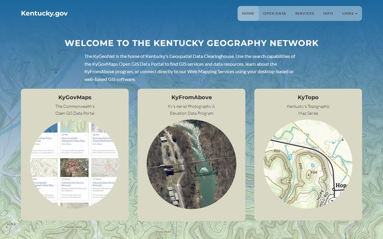
This map view helps place an address in the statewide geography; it does not promise a parcel-owner layer for every county.
Kentucky PVA Records for Nearby Owners
County PVAs are Kentucky's public owner-to-parcel source, but there is no statewide owner lookup. The Revenue directory identifies each office. Jefferson's public Address and Parcel ID tabs differ from its paid Owner, Legal and Sales tabs; county fields vary.
Separate situs, tax mailing and legal description. Mail may go to an agent, bank or relative; lot/block or metes-and-bounds can link a deed. A homestead or disability exemption does not prove occupancy.
| Jefferson PVA mode | Field or access limit | Block-search use |
|---|---|---|
| Address | Text street address, street-only query or number range; city/state/ZIP not required | Locate a parcel or browse a road segment |
| Parcel ID | Full or partial local ID, spaces and dashes omitted | Reconnect a map polygon to its tax card |
| Owner | Owner-name mode requires a paid account | Not a universal statewide name search |
| Legal and Sales | Account-gated tabs; exact fields are not exposed publicly | Use the clerk's public deed/plat index for a specific legal record |
If the portal fails, call or visit the PVA, inspect its tax card, or send a specific request. Some counties charge for GIS products. Use the Department of Revenue contact directory to find the right office.
Kentucky Neighbors and Association Contacts
A neighborhood association can give a person a legitimate way to learn about meetings, local projects or a group serving an address. It is a contact layer, not a member-search service. Kentucky's best official address route is the Lexington-Fayette planning directory; Louisville Metro Council district pages offer association contacts and meeting details by district. Most such pages do not publish member households.
In Lexington, the official finder supports a search box and an address/map route called MapIt. Planning staff ask for directory updates through neighborhood@lexingtonky.gov. The planning office is at 101 E. Vine St., 7th floor, Lexington, and lists 859-258-3160. The association pages provide geographic coverage and a contact route; they do not confirm who lives in a specific home.
Use the Lexington neighborhood-association finder to search by address or map.
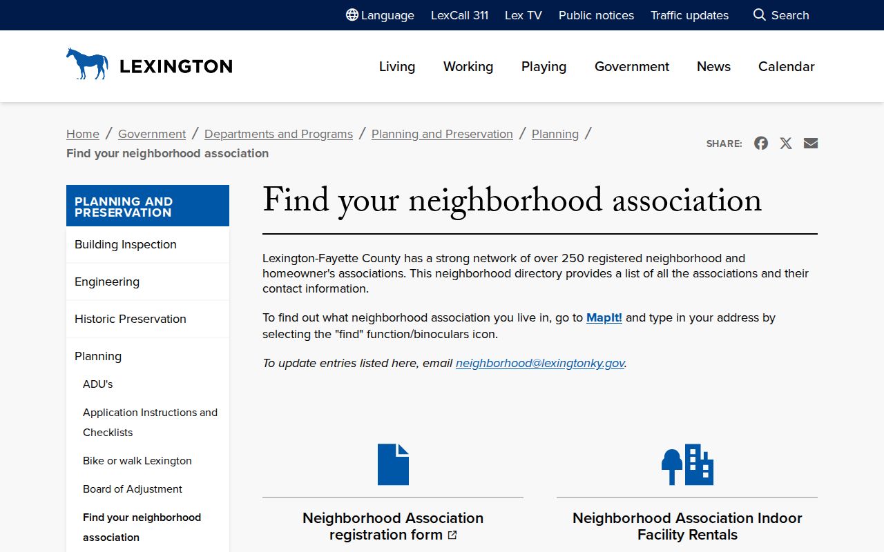
The finder supports contact with an association, but its map result is not a list of residents or a claim about membership.
Lexington Neighbors and 250 Associations
Lexington-Fayette lists more than 250 registered neighborhood and homeowner associations. The address/MapIt finder connects a location to a group's area, not a household roster. Planning staff accept directory updates.
| Official contact route | What it provides | Good next step |
|---|---|---|
| Lexington-Fayette planning finder | Association name and area tied to an address/map search | Use MapIt or the search box; contact Planning to update a listing |
| Lexington Planning Office | Directory update contact and local planning information | Email neighborhood@lexingtonky.gov or call 859-258-3160 |
| Louisville Metro Council district pages | Association contacts and meeting information by council district | Check the district page for the address and current contact route |
| Voluntary church, civic or block-watch information | Public events or group affiliation when the organization shares it | Use the organization site or archive; do not treat it as a full block roster |
Associations offer meeting and contact routes, rarely member lists. Church, civic or block-watch notices are voluntary context, not proof of occupancy.
Louisville Neighbors and District Pages
Louisville Metro Council pages group association contacts and meeting routes by district, rather than by parcel. Names across those pages include Butchertown, California, Downtown, Irish Hill, Old Louisville, Original Highlands, Paristown Pointe, Phoenix Hill, Portland, Russell, Shelby Park, Smoketown, Cloverleaf, Germantown, Hazelwood, Iroquois, Lucky Horseshoe, Meriwether-Fort Hill, Saint Joseph, Schnitzelburg, Taylor Berry and Wilder Park.
Pages for Jacobs and University explicitly report no current association. Check the address's district page and confirm a contact is current before reaching out. The District 4 association page is one official example. For an older local name, Lexington Public Library, Louisville Free Public Library and Metro Archives hold directory and map collections.
Kentucky Voter Lists at the Block Scale
The Kentucky Voter Information Center (VIC) checks one registration, polling place and absentee status, using legal first/last name, date of birth and optional SSN last four. It is not an address directory. A county clerk can answer an individual's registration question; the State Board handles qualified file requests.
| Voter record detail | Access and limit |
|---|---|
| Name, address, age code, party, gender, ZIP and five-year voting history | Fields defined for a regulated alphabetical precinct list; not a general-purpose public browse |
| VIC self-verification | Search one registration with first name, last name, date of birth and optional SSN last four |
| SBE-84 voter-file request | Requester identity, entity/affiliation, address, phone, qualified purpose and oath are required |
| Delivery/payment | Pickup or mail-in payment; email/card alternative; allow 7 to 10 business days |
The SBE-84 oath bars commercial use and resale. Lists are limited to candidates/representatives, party committees, committees on public questions or another approved purpose. Five-year history means participation, not ballot choice. Use the VIC for one's own record. The SBE-84 form goes by mail or email to SBEVOTERDATAORDERS@KY.GOV; the Board lists (502) 573-7100 and 140 Walnut Street, Frankfort. Allow 7 to 10 business days. Open Records requests do not bypass voter-list limits. Ask the clerk or KDLA about historical poll books; coverage varies.
Kentucky Safety Registry Has a Narrow Purpose
The Kentucky State Police Sex Offender Registry is a specific public-safety record, not a block directory or a way to infer who lives at a nearby address. It offers name or offender-number searches and location controls. KSP says the information is for public safety and awareness, not punishment or embarrassment.
| Registry search field | Use shown by KSP |
|---|---|
| Offender Number or Last Name | Find a named registry entry |
| Street Address | Search around a specified location |
| City, County or ZIP | Limit the geography; county-only search can list entries for that county |
| Map address/city/ZIP and radius | Set a location-based map area |
| ZIP track in/out | Search for the documented ZIP movement setting |
A marker does not prove who lives there. Do not confront a person; KSP directs suspected address changes to local law enforcement. Check the Kentucky State Police registry for its stated scope.
This distinction is one reason an address search should remain narrow. A parcel viewer maps land, an association finder maps voluntary local groups, a voter service verifies a permitted record, and a safety registry serves the purpose described by its custodian. No one layer fills in a complete list of the people around a home.
Kentucky Neighbors and Privacy Limits
The Kentucky Consumer Data Protection Act took effect January 1, 2026. Covered private controllers must support rights to access, correct or delete certain data and opt out of sale or profiling, but public records are excluded. It does not erase a deed or voter record. Utility data is not a public resident list; vital and court files may be sealed or redacted. See the Attorney General's KCDPA guide.
Safe at Home under KRS 14.300 through 14.318 gives eligible survivors a substitute address, mail forwarding and protection on many public records, including voter rolls; participants may vote absentee by mail. Certification lasts four years and can be renewed. Real-estate holdings are not masked. Never try to rebuild a protected address. See the Secretary of State's Safe at Home page.
| Source type | What it can add | Key limit |
|---|---|---|
| Official PVA, deed, GIS and association records | Traceable parcel, instrument or voluntary contact details from the custodian | Each source covers its own fields; an owner or map marker does not establish who is present today |
| Commercial address and property-data services | Compiled address, property and broker-derived associations | May be stale, infer relationships incorrectly, and omit protected or non-owner household information |
Neither source type is a complete household roster. Use an official contact directory for voluntary community links.
Lawful use. Use Kentucky address and association records for a specific personal, civic or community question. KRS 508.150 defines second-degree stalking as a crime under specified conditions; never use an address to watch, threaten, harass or intimidate a person.